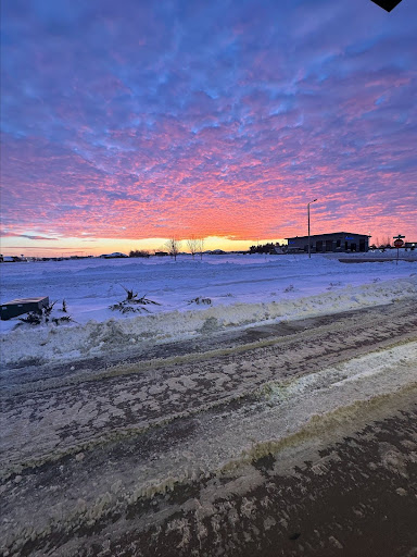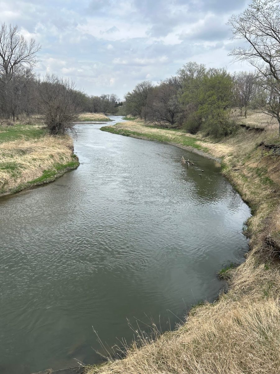
This year has been above average in terms of temperature and rainfall across Eastern Iowa. KCRG Meteorologist AJ Rickman (he/him) shared his insight on these trends.
“In terms of temperature, 2024 is about three and a half degrees above the 30-year average,” stated Rickman.
This trend is seen beyond Iowa as average global temperatures continue to rise. According to the World Meteorological Organization, 2024 is on track to be the hottest year on record, with the global mean surface air temperature 1.54 °C above the pre-industrial average.
Eastern Iowa has also seen abnormal precipitation patterns over the last year. Despite experiencing a very dry fall season, Iowa saw above-average precipitation levels in 2024.
“On the year as a whole, we are still two and a half inches above normal,” said Rickman, “A lot of the reason for that is because our precipitation has come in bursts… We had nine inches of rain in July, which is well above average.”
Iowa also saw several severe weather outbreaks over the course of the year. The National Weather Service reported 125 tornadoes during 2024, including two categorized as EF4s and four categorized as EF3s. Rickman noted that climate change does not directly cause these tornadoes to happen, but conditions become more favorable for developing severe weather.
“It’s not necessarily the tornadoes are becoming more frequent, but more they’re becoming condensed in that we have more intense tornado outbreaks,” said Rickman.
Weather patterns can have a large impact on Iowa’s agriculture, a crucial industry as it accounts for one-third of Iowa’s total economic output (Iowa Farm Bureau).
“We had, overall, a pretty wet spring and a wet middle of the summer, which was great for the crops. During the growing season, they were able to take that water and utilize it,” stated Rickman, “Once it got dry in September, October, that was when the corn and the soybeans were starting to finish out… that dry period actually came at a very good time because a lot of farmers were harvesting fields at that point.”
Earlier this week, much of Iowa saw its first measurable snowfall of the season, with an inch of snow falling Monday morning (Dec. 2) in Johnson County (Iowa State University Environmental Mesonet). Many Iowans are wondering what to expect going into the winter months.
“The northwest corner of the state is more likely to see below-normal temperatures,” said Rickman. “The far eastern part of the state has a better chance of seeing above-normal precipitation.”
Rickman noted, however, that these predictions are just a general trend over the entirety of the winter and cannot forecast the short-term changes in precipitation and temperature.


